This function is a wrapper for gIntersection that extracts the intersection between inputted geometries. Unlike gIntersection, the function requires geometries to be specified as a list. The intersections between all (one or more) specified geometries, excluding NULL elements, are returned.
get_intersection(x, ...)Arguments
- x
A list of Spatial* geometries supported by
gIntersection. Ifxis a list with a single Spatial* element, that element is simply returned. Ifxis a list with two Spatial* elements,gIntersectionis implemented directly to obtain the intersection. Ifxis a list with more than two Spatial* elements,gIntersectionis implemented iteratively, effectively intersecting all geometries.NULLelements are ignored.- ...
Arguments passed to
gIntersection.
Value
The function returns a Spatial* object of the intersection between all inputted geometries.
See also
Examples
## Define raster parameters (for sampling/plotting)
set.seed(1)
n <- raster::ncell(dat_gebco)
xy <- raster::coordinates(dat_gebco)
utm <- raster::crs(dat_gebco)
cols <- c("black", "red", "orange", "green", lwd = 2)
col_int <- scales::alpha("dimgrey", 0.5)
## Define example polygons
n_poly <- 4
polys <- lapply(1:n_poly, function(i) {
xy_i <- xy[sample(1:n, 1), , drop = FALSE]
xy_i <- sp::SpatialPoints(xy_i, utm)
xy_i_buf <- rgeos::gBuffer(xy_i, width = 10000)
return(xy_i_buf)
})
#> Warning: GEOS support is provided by the sf and terra packages among others
#> Warning: GEOS support is provided by the sf and terra packages among others
#> Warning: GEOS support is provided by the sf and terra packages among others
#> Warning: GEOS support is provided by the sf and terra packages among others
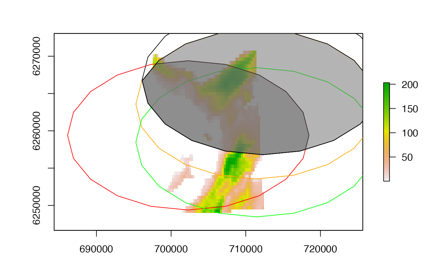
#### Example (1): Define intersections between multiple (here, four) polygons
# Plot area with polygons
raster::plot(dat_gebco)
lapply(1:length(polys), function(i) raster::lines(polys[[i]], col = cols[i]))
#> [[1]]
#> [[1]][[1]]
#> [[1]][[1]][[1]]
#> NULL
#>
#>
#>
#> [[2]]
#> [[2]][[1]]
#> [[2]][[1]][[1]]
#> NULL
#>
#>
#>
#> [[3]]
#> [[3]][[1]]
#> [[3]][[1]][[1]]
#> NULL
#>
#>
#>
#> [[4]]
#> [[4]][[1]]
#> [[4]][[1]][[1]]
#> NULL
#>
#>
#>
# Get intersection and add
int <- get_intersection(polys)
#> Warning: GEOS support is provided by the sf and terra packages among others
#> Warning: GEOS support is provided by the sf and terra packages among others
#> Warning: GEOS support is provided by the sf and terra packages among others
raster::plot(int, add = TRUE, col = col_int)
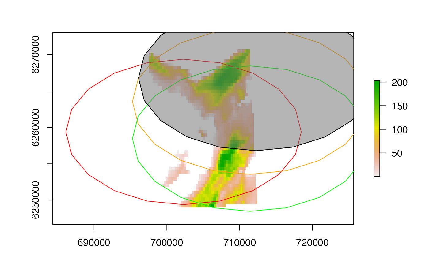
 #### Example (2): Define intersections between fewer polygons
raster::plot(dat_gebco)
lapply(1:length(polys), function(i) raster::lines(polys[[i]], col = cols[i]))
#> [[1]]
#> [[1]][[1]]
#> [[1]][[1]][[1]]
#> NULL
#>
#>
#>
#> [[2]]
#> [[2]][[1]]
#> [[2]][[1]][[1]]
#> NULL
#>
#>
#>
#> [[3]]
#> [[3]][[1]]
#> [[3]][[1]][[1]]
#> NULL
#>
#>
#>
#> [[4]]
#> [[4]][[1]]
#> [[4]][[1]][[1]]
#> NULL
#>
#>
#>
raster::plot(get_intersection(polys[1:3]), add = TRUE, col = col_int)
#> Warning: GEOS support is provided by the sf and terra packages among others
#> Warning: GEOS support is provided by the sf and terra packages among others
raster::plot(get_intersection(list(polys[[1]], polys[[3]])), add = TRUE, col = col_int)
#> Warning: GEOS support is provided by the sf and terra packages among others
#### Example (2): Define intersections between fewer polygons
raster::plot(dat_gebco)
lapply(1:length(polys), function(i) raster::lines(polys[[i]], col = cols[i]))
#> [[1]]
#> [[1]][[1]]
#> [[1]][[1]][[1]]
#> NULL
#>
#>
#>
#> [[2]]
#> [[2]][[1]]
#> [[2]][[1]][[1]]
#> NULL
#>
#>
#>
#> [[3]]
#> [[3]][[1]]
#> [[3]][[1]][[1]]
#> NULL
#>
#>
#>
#> [[4]]
#> [[4]][[1]]
#> [[4]][[1]][[1]]
#> NULL
#>
#>
#>
raster::plot(get_intersection(polys[1:3]), add = TRUE, col = col_int)
#> Warning: GEOS support is provided by the sf and terra packages among others
#> Warning: GEOS support is provided by the sf and terra packages among others
raster::plot(get_intersection(list(polys[[1]], polys[[3]])), add = TRUE, col = col_int)
#> Warning: GEOS support is provided by the sf and terra packages among others
 #### Example (3): The function can handle a single element
raster::plot(dat_gebco)
lapply(1:length(polys), function(i) raster::lines(polys[[i]], col = cols[i]))
#> [[1]]
#> [[1]][[1]]
#> [[1]][[1]][[1]]
#> NULL
#>
#>
#>
#> [[2]]
#> [[2]][[1]]
#> [[2]][[1]][[1]]
#> NULL
#>
#>
#>
#> [[3]]
#> [[3]][[1]]
#> [[3]][[1]][[1]]
#> NULL
#>
#>
#>
#> [[4]]
#> [[4]][[1]]
#> [[4]][[1]][[1]]
#> NULL
#>
#>
#>
raster::plot(get_intersection(polys[1]), add = TRUE, col = col_int)
#### Example (3): The function can handle a single element
raster::plot(dat_gebco)
lapply(1:length(polys), function(i) raster::lines(polys[[i]], col = cols[i]))
#> [[1]]
#> [[1]][[1]]
#> [[1]][[1]][[1]]
#> NULL
#>
#>
#>
#> [[2]]
#> [[2]][[1]]
#> [[2]][[1]][[1]]
#> NULL
#>
#>
#>
#> [[3]]
#> [[3]][[1]]
#> [[3]][[1]][[1]]
#> NULL
#>
#>
#>
#> [[4]]
#> [[4]][[1]]
#> [[4]][[1]][[1]]
#> NULL
#>
#>
#>
raster::plot(get_intersection(polys[1]), add = TRUE, col = col_int)
 #### Example (4): The function can handle NULL elements
raster::plot(dat_gebco)
lapply(1:length(polys), function(i) raster::lines(polys[[i]], col = cols[i]))
#> [[1]]
#> [[1]][[1]]
#> [[1]][[1]][[1]]
#> NULL
#>
#>
#>
#> [[2]]
#> [[2]][[1]]
#> [[2]][[1]][[1]]
#> NULL
#>
#>
#>
#> [[3]]
#> [[3]][[1]]
#> [[3]][[1]][[1]]
#> NULL
#>
#>
#>
#> [[4]]
#> [[4]][[1]]
#> [[4]][[1]][[1]]
#> NULL
#>
#>
#>
raster::plot(get_intersection(list(polys[[1]], NULL, NULL, polys[[4]])),
add = TRUE, col = col_int
)
#> Warning: GEOS support is provided by the sf and terra packages among others
#### Example (4): The function can handle NULL elements
raster::plot(dat_gebco)
lapply(1:length(polys), function(i) raster::lines(polys[[i]], col = cols[i]))
#> [[1]]
#> [[1]][[1]]
#> [[1]][[1]][[1]]
#> NULL
#>
#>
#>
#> [[2]]
#> [[2]][[1]]
#> [[2]][[1]][[1]]
#> NULL
#>
#>
#>
#> [[3]]
#> [[3]][[1]]
#> [[3]][[1]][[1]]
#> NULL
#>
#>
#>
#> [[4]]
#> [[4]][[1]]
#> [[4]][[1]][[1]]
#> NULL
#>
#>
#>
raster::plot(get_intersection(list(polys[[1]], NULL, NULL, polys[[4]])),
add = TRUE, col = col_int
)
#> Warning: GEOS support is provided by the sf and terra packages among others
